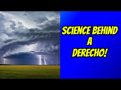
Severe weather often brings various types of storms, but two terms that frequently arise are “derecho” and “squall line.”
A squall line is a line of thunderstorms that can produce heavy rain and strong winds. Meanwhile, a derecho is a powerful storm complex that can cause extensive damage along its path.
Understanding the difference between these phenomena is essential for meteorologists and anyone interested in weather patterns.
Squall lines usually form ahead of a cold front, producing a series of storms arranged in a line. They can lead to severe weather, including strong winds and possible tornadoes.
In contrast, derechos are characterized by a swath of damaging winds that can extend for miles and impact a large area with destructive straight-line winds. When meteorologists track these storms, they rely on data from the National Weather Service and other resources to forecast their potential impact, ensuring communities stay prepared.
As weather enthusiasts delve into the nature of these storms, knowing the distinctions between a derecho and a squall line is crucial for understanding severe weather forecasts. To explore more about how atmospheric phenomena influence storms, one can visit articles on atmospheric phenomena.
Understanding Derechos and Squall Lines

Derechos and squall lines are both important phenomena in meteorology, representing distinct types of thunderstorms that can cause severe weather. Understanding their definitions, formation processes, and impacts helps highlight the differences between them.
Defining Derechos and Squall Lines
A derecho is a type of windstorm that occurs with a group of thunderstorms. To be classified as a derecho, it must produce a damaging wind swath of at least 250 miles and have wind gusts exceeding 58 mph. These storms can arise from a mesocale convective system and often exhibit a bow echo pattern.
Squall lines, on the other hand, are chains of storms that can stretch for hundreds of miles. Often, they form along a cold front, where warm, moist air meets cooler, denser air. Squall lines generate winds, heavy rain, and sometimes hail. They typically pass quickly and are less likely to produce tornadoes compared to derechos.
Formation and Characteristics
Derechos develop within a specific atmospheric setup, where warm air is lifted rapidly by strong updrafts. This can lead to the creation of a downdraft and a cold front. A bow echo, a common structure in derechos, presents a curved shape on radar and signals intense straight-line winds. These winds can cause substantial damage along their paths.
Squall lines form when thunderstorms organize along a line. These systems also produce downdrafts, often leading to gusty winds and heavy precipitation. Although squall lines may produce lightning and hail, they are generally not as widespread or intense as derechos in terms of wind damage. This differentiation in the formation can lead to varied impacts on the ground.
Impacts of Derechos vs Squall Lines
The impacts of derechos can be severe and often include extensive wind damage from straight-line winds, which can lead to fallen trees and power outages. They may also spawn isolated tornadoes, though this is less common. In addition to wind damage, derechos can bring heavy rain that increases the risk of flash flooding.
Squall lines typically produce strong winds and heavy rainfall but are less likely to cause widespread destruction. Properties along the path of a squall line can experience wind damage; however, it usually does not match the intensity or scope of destruction seen with derecho winds. Both phenomena are recognized by organizations like the National Weather Service and NOAA for their significance in severe weather warnings.
Meteorological Analysis and Safety Measures

Understanding how to forecast and detect severe weather, along with the necessary safety measures, is vital for public safety during events like derechos and squall lines. These aspects help communities prepare for potential hazards like damaging winds and heavy rain.
Forecasting and Detection
Meteorologists utilize advanced radar technology to monitor weather patterns and detect severe storms. NOAA and the National Weather Service issue alerts for conditions that can lead to derechos and squall lines, such as wind shear and atmospheric instability.
Key tools include:
- Doppler Radar: Helps track wind speeds and storm developments.
- Weather Models: Analyze data to predict storm paths.
- Spotter Networks: Trained volunteers provide real-time observations.
Meteorologists look for signs such as organized storm clusters and rapidly rising air. These indicators can help determine if severe straight-line winds, which can exceed 100 mph, are likely to occur. Timely alerts are crucial for ensuring communities can act quickly.
Safety and Preparedness
Safety measures during severe weather events involve planning and awareness.
Communities should have access to storm shelters and emergency response plans.
Public safety officials encourage residents to:
- Stay Informed: Monitor weather alerts from trusted sources.
- Create a Disaster Kit: Include items like food, water, and a flashlight.
- Develop an Emergency Plan: Outline where to go during a storm.
It is essential for families to practice their plans, ensuring everyone knows how to react during severe weather.
Awareness of potential wind damage and the risks associated with tornadoes is crucial.
Following emergency guidance can help minimize injuries and protect lives during extreme weather events.
