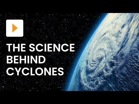
Tropical cyclones are powerful storms that can cause significant damage. Understanding their development is crucial for predicting their impact.
The four stages of cyclone development include tropical disturbance, tropical depression, tropical storm, and a fully formed tropical cyclone. These stages show how a storm evolves from a simple cluster of thunderstorms into a severe weather event like a hurricane or typhoon.
In the beginning, a tropical disturbance forms when warm ocean waters heat the air above, leading to cloud creation.
As conditions improve, it can strengthen into a tropical depression, characterized by organized circulation and increasing wind speeds.
Next, as it develops further, it becomes a tropical storm. At this stage, it starts to gain a name and can produce heavy rainfall and strong winds.
Finally, when the wind speeds reach a certain threshold, the tropical storm transforms into a fully developed tropical cyclone. This stage is when these storms can become dangerous systems like hurricanes or typhoons.
Formation and Initial Development

The formation of a cyclone begins with a tropical disturbance. This occurs when warm ocean water rises, leading to condensation of water vapor. As this vapor condenses, it releases latent heat, warming the air above.
The process involves converging winds near the equator. These winds are influenced by the Coriolis force, which causes them to rotate. This rotation helps to create a low-pressure system at the center of the disturbance.
For a cyclone to intensify, certain conditions must exist. Wind speeds must be moderate, generally under 30 knots, to prevent high wind shear.
Low wind shear allows the system to organize and develop further.
The sea temperature plays a crucial role. Water needs to be warm, typically above 26 degrees Celsius, for energy to fuel the storm. The warm ocean water is fundamental for sustaining the heat and moisture necessary for cyclone growth.
As the low-pressure area strengthens, it begins to show more defined circulation patterns. Winds start to speed up, indicating the cyclone is moving to the next stage of development.
The combination of these factors creates the environment needed for a tropical storm to form.
The process highlights the interconnectedness of ocean conditions and atmospheric dynamics, central to understanding tropical cyclone formation.
Intensification and Peak

During intensification, a tropical cyclone strengthens and prepares for its peak. This stage often sees the storm develop into a tropical storm or hurricane, defined by increasing wind speeds.
Cumulonimbus clouds form as warm air rises, leading to heavy rain and thunder. The evaporation of water vapor fuels the storm, causing it to grow. Rainbands begin to form around the center, bringing intense rainfall and strong winds.
Wind shear, or the difference in wind speeds at various altitudes, plays a crucial role. Low wind shear allows a storm to organize and intensify, while high wind shear can disrupt its structure. Divergence in the upper atmosphere aids in allowing the cyclone to release energy.
Satellite images show the storm’s structure as it intensifies. In the Northern Hemisphere, the cyclone rotates counterclockwise, while in the Southern Hemisphere, it rotates clockwise.
Once a cyclone reaches peak intensity, it becomes known as a severe tropical cyclone or typhoon, depending on its location. At this stage, the maximum wind speeds may exceed 74 miles per hour.
The most violent winds and dangerous storm surges occur at this point. Storm surges can cause severe coastal flooding and damage.
