
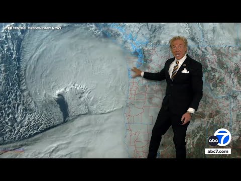
As winter approaches, the threat of a bomb cyclone looms over parts of the United States. The states most likely to be affected by this powerful storm system include Washington, Oregon, Idaho, and California.
These areas may experience heavy rain, strong winds, and significant impacts due to the storm’s interaction with an atmospheric river. The National Weather Service warns that the combination of these weather phenomena can lead to severe conditions, including flooding and power outages.
This cycle of rapid intensification will bring harsh weather to the Pacific Northwest, creating a challenging situation for residents. Understanding the potential effects of a bomb cyclone is essential for anyone living in these regions.
Stay informed about the latest forecasts and warnings issued by meteorological experts to prepare adequately for this extreme weather event.
Meteorologists emphasize the need for vigilance during such storms. The consequences can be dire, and proper preparation can save lives and property. For insights on other extreme weather occurrences, delve into various atmospheric phenomena for a broader perspective on these dangerous conditions.
Projected Impact on the West Coast
The upcoming bomb cyclone is expected to affect various areas along the West Coast significantly. Major impacts include heavy rainfall, strong winds, and potential flash flooding.
Both Northern California and the Pacific Northwest will experience challenging weather conditions.
Northern California
In Northern California, cities like San Francisco will see heavy rain and strong winds as the storm moves in. Meteorologists predict rainfall amounts could reach several inches, increasing the risk of flooding, especially in urban areas.
The Sierra Nevada region is expected to receive snow, impacting travel conditions on mountain passes. Power outages are another concern, as winds are forecasted to exceed 60 mph in some areas, damaging trees and power lines.
Residents should prepare for possible disruptions and stay updated on travel advisories. Flash flooding in low-lying areas may also occur, prompting additional precautions in affected communities.
Pacific Northwest
The Pacific Northwest is bracing for intense weather from this storm system. Washington and Oregon will face heavy rainfall and strong winds, with Seattle and the Puget Sound region being particularly vulnerable.
Rainfall could lead to significant flooding, especially in river basins already saturated from previous storms. Travel disruptions are likely, as road conditions will worsen with flooding and landslides possible in mountainous areas.
Power outages may be widespread, with many people left without electricity for days. As the storm approaches, local authorities will issue safety warnings and guidelines to help residents prepare for potential emergencies. More details can be found in articles about wind.
Advisories and Safety Measures

As the bomb cyclone approaches, advisories from the National Weather Service and local agencies are essential for public safety. Residents in affected areas must stay informed and take necessary precautions to minimize risks related to severe weather conditions.
Emergency Response
Local and state emergency services are on alert to respond to situations caused by the bomb cyclone. They focus on preparedness for heavy snowfall, excessive rainfall, and potential flash flooding.
The National Weather Service is issuing timely warnings regarding blizzard conditions, which can lead to power outages and downed trees throughout the Northwest, including California and Oregon.
Residents are advised to stock up on essential supplies such as food, water, medications, and flashlights. Those in high-risk areas, like King County, should have an emergency plan in place in case evacuations become necessary due to landslide or rock slide threats.
Travel and Transportation
Travel will be significantly affected as the storm moves in.
Drivers in the Bay Area and along the West Coast should expect hazardous conditions due to heavy mountain snow and potential road closures.
The risk of debris flows and landslides can make mountain passes treacherous.
Local transportation authorities are monitoring conditions and may implement travel restrictions for safety.
Motorists are encouraged to avoid unnecessary travel during peak storm conditions and to check for updates from local agencies.
For those who must travel, staying informed about road conditions is crucial to ensure safety through this extreme weather event.