
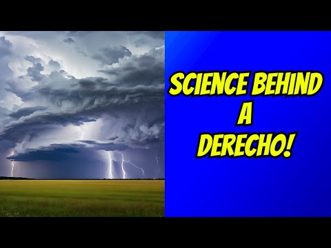
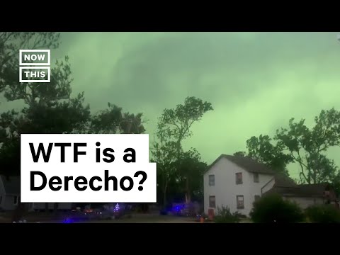
Storms known as derechos are serious weather events characterized by widespread, long-lasting straight-line winds. The term “derecho” originates from the Spanish word for “straight,” reflecting the nature of the powerful wind gusts that accompany these storms.
These storms can produce winds exceeding 57 mph, creating significant damage over large areas.
Derechos are typically associated with severe thunderstorms that form into a cohesive system. When conditions are right, the result can be a violent burst of wind that stretches for hundreds of miles.
This unique aspect makes derechos some of the most intense wind events experienced by meteorologists and communities alike.
Understanding why a storm is labeled a derecho helps in recognizing the potential dangers these weather phenomena pose. By exploring the characteristics and formation of derechos, readers can appreciate the power of straight-line winds and the way they shape extreme weather patterns in their areas.
Scientific Understanding of Derechos
Derechos are severe wind storms characterized by damaging winds and can lead to significant environmental impacts. Their formation involves complex atmospheric processes, and they can vary in type and intensity, causing substantial disruption and hazards.
Formation and Characteristics
Derechos typically form when a mesoscale convective system develops in an unstable atmosphere. They often begin with thunderstorms that organize into a bow echo, a shape that indicates strong winds.
These storms can create downbursts and microbursts, which are powerful downdrafts that produce destructive winds reaching 57.5 mph or more.
The winds can extend over a path of at least 250 miles, impacting multiple states. Some key features include mesovortices, which are smaller rotating structures within the larger storm system.
These factors combine to produce intense wind damage, leading to power outages and flash floods. Conditions that favor derechos are often exacerbated by climate change, increasing their frequency and intensity.
Types of Derechos
There are three main types of derechos: progressive, serial, and hybrid. A progressive derecho rolls along a straight path, continuously producing severe winds.
In contrast, a serial derecho consists of multiple convective systems occurring in quick succession, leading to an extended area of wind damage.
Hybrid derechos combine features of both types. Each type can cause varying levels of damage, but all are capable of producing straight-line wind damage that rivals tornadoes.
Understanding these distinctions helps meteorologists forecast potential impacts more effectively, which is essential for public safety.
Impact on the Environment
Derechos can have serious implications for ecosystems and human infrastructure. The intense straight-line winds cause significant damage to trees and buildings.
This destruction can lead to habitat loss for wildlife and increased erosion. Moreover, the resulting flash floods can contaminate waterways and disrupt agricultural practices.
As derechos become more frequent due to climate changes, their impact on the environment intensifies. Communities must prepare for these storms to minimize damage and ensure safety during severe weather events.
Derecho Occurrences and Safety Measures
Derechos are significant weather events that can cause severe damage across large areas. Understanding their occurrences and knowing safety measures are essential for preparedness.
Notable Derecho Events
One of the most powerful derechos occurred in June 2012, impacting the Midwest of the United States. This storm produced winds exceeding 80 mph and traveled about 700 miles in just 12 hours, resulting in widespread power outages and extensive wind damage.
Another example took place in March 1993 during the “Storm of the Century,” which affected Florida. In addition to intense straight-line winds, tornadoes formed, making it particularly noteworthy.
Derechos are often characterized by low-level moisture, severe thunderstorms, and can generate significant hail and lightning. They primarily affect the midwestern United States but can also occur in other regions, like Colorado. With their potential for destruction, knowing recent events aids in understanding the danger they pose.
Forecasting and Preparedness
The National Weather Service plays a vital role in forecasting derechos. They use tools such as radar to predict severe thunderstorms. They also monitor meteorological processes that may lead to these windstorms.
Residents are encouraged to stay informed about weather alerts. This is particularly important during the summer months when derechos are more likely.
Keeping an emergency kit ready and having a family safety plan can be crucial.
It is important to understand that derechos can produce winds comparable to hurricanes. Therefore, finding shelter during warnings is vital to personal safety.
Recognizing the signs of severe weather can help mitigate the risk of injury and property damage.