
Many people wonder about the differences between a derecho and a bow echo.
While a bow echo can lead to a derecho, they are not the same phenomenon.
Bow echoes are specific patterns created by thunderstorms, characterized by winds that bow outward, visible on radar.
A derecho, on the other hand, is a powerful windstorm often associated with long-lived bow echoes, producing widespread damage over a larger area.
Understanding these weather patterns is important for anyone interested in extreme weather.
Thunderstorms can produce strong wind gusts, and when these winds organize into a bow shape, they may lead to dangerous conditions.
Identifying the signs of a bow echo can help track the development of a derecho and prepare for its potential impacts.
By learning about these terms and their differences, readers can gain insights into weather forecasts and what to expect during severe storms.
Whether a storm produces a simple bow echo or evolves into a full derecho, being informed can make a significant difference in safety and preparedness.
Understanding Derechos and Bow Echoes
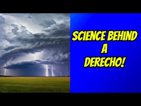
Derechos and bow echoes are important meteorological phenomena linked to severe thunderstorms. Both involve strong winds and can cause significant damage, but they have distinct characteristics and formation processes.
Characteristics of Derechos
A derecho is a long-lived windstorm associated with thunderstorms and is known for producing damaging straight-line winds.
To qualify as a derecho, the storm must produce wind speeds of at least 58 mph over a wide area, often creating a wind damage swath that spans several miles.
Derechos can be categorized into two main types: serial and progressive.
Serial derechos consist of a series of bowing segments that maintain strength over time. Progressive derechos, on the other hand, develop continuously as a single system moves along.
Meteorologists consider the radar signature of derechos critical for predicting wind damage from these storms.
Defining Bow Echoes
Bow echoes are radar features that appear as a crescent-shaped pattern, typically within squall lines of thunderstorms.
They form when strong winds aloft force thunderstorms to bow outward due to the wind shear.
Bow echoes can occur in both single supercell storms and clusters of storms. The defined shape indicates the presence of a shelf cloud at the leading edge, which may precede severe straight-line winds.
A bow echo can produce damaging winds similar to a derecho, but they are often smaller and shorter-lived events.
Differentiating Derecho from Bow Echo
While both derechos and bow echoes involve strong winds, they are not the same.
A bow echo is often a precursor or component of a derecho. Each bow echo can produce severe winds, but it does not automatically classify the entire storm as a derecho unless it meets specific criteria regarding longevity and wind speed.
Meteorologists use radar to monitor the transition from bow echo to derecho, as this understanding can improve storm prediction efforts.
The distinction is crucial for assessing potential wind damage and informing the public of severe weather threats.
Meteorological Phenomena and Impacts

Derechos and bow echoes are closely related meteorological events that can lead to significant wind damage. Understanding how they form and their impacts is crucial for preparedness and response.
Wind Phenomena Associated with Derechos
Derechos are characterized by severe wind gusts that can exceed 75 mph.
These gusts often come from downbursts, which are concentrated down drafts of air.
Key factors in the formation of derechos include mesovortices, wind shear, and vertical wind shear.
Wind shear refers to the change in wind speed and direction with height. This change helps to organize storms into bow echoes, which can produce strong gusts.
Derechos can also form with the help of cold fronts and areas of convergence.
As warm, moist air is pushed upward, it cools, creating strong updrafts. This process can lead to intense storms and rapid downdrafts when the rain-cooled air sinks.
When this happens, wind damage can become extensive, causing power outages and damaging structures.
Assessing the Damage and Aftermath of Severe Wind Events
After a derecho event, assessing the damage is vital for emergency response.
The National Weather Service plays a key role in gathering and analyzing data to understand the extent of wind damage.
Damage can range from downed trees to destroyed homes.
Along with physical damage, derechos can cause economic impacts, affecting businesses and communities.
Power outages are common, leading to disruptions in daily life.
In some cases, derechos can also trigger tornado outbreaks, which complicates recovery efforts.
Emergency response teams must quickly evaluate affected areas to provide aid.
They often work with local authorities to address urgent needs and assess structural integrity.
For more detailed explanations on wind phenomena, useful articles can be found on topics related to wind.