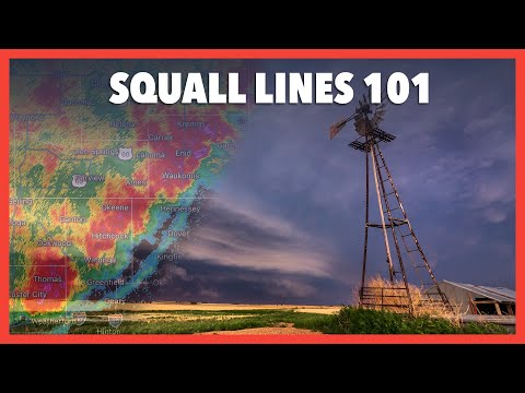
Squall lines are fascinating and intense weather phenomena often associated with severe thunderstorms. These lines of storms are characterized by strong winds, heavy rain, and thunder.
A squall line typically forms along a cold front, where warm, moist air is forced upward, leading to the development of thunderstorms. The resulting severe weather can create hazardous conditions, making it important for meteorologists and the public to understand what causes these powerful systems.
In simple terms, the rise of warm air ahead of a cold front is key to the formation of squall lines. As the warm air lifts, it cools and condenses, forming cumulonimbus clouds that produce vigorous thunderstorms.
Although these storms are less likely to produce tornadoes compared to supercells, they can still bring strong winds, heavy rainfall, and thunder, impacting lives and property.
Monitoring meteorological conditions is essential for predicting squall lines. A combination of factors, including atmospheric instability and wind shear, contribute to their development.
Understanding these factors can help communities prepare for potential severe weather events. Being informed can make a difference during storm season, so staying updated with reliable forecasts is crucial for safety. For more insights on weather conditions such as snow and ice, relevant articles are available online.
Formation and Characteristics of Squall Lines

Squall lines form under specific meteorological conditions and display unique characteristics that set them apart from other storm systems. Understanding their development and features is crucial for predicting severe weather events.
Development of Squall Lines
Squall lines often develop along a cold front where warm, moist air meets cooler, denser air. One critical factor is wind shear, which refers to changes in wind speed and direction with altitude.
This creates updrafts that can lead to the formation of towering cumulonimbus clouds. As these clouds grow, they can develop into a mesoscale convective system (MCS).
These squall lines can produce heavy precipitation, lightning, and even straight-line winds. The jet stream often plays a role in helping lift warm air upward, contributing to the unstable conditions necessary for thunderstorm formation.
Sufficient moisture in the lower atmosphere enhances these storms, ensuring that they can produce significant weather events.
Defining Features of Squall Lines
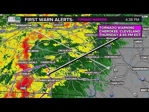
Squall lines are characterized by a distinct linear arrangement of thunderstorms. This pattern can often be observed on radar as a line echo wave pattern. The leading edge is known as the gust front, marked by rapid wind changes.
These systems can generate intense heavy rain, making them hazardous. Upon formation, squall lines can also produce dangerous conditions including hail and even tornadoes under certain circumstances. The lightning activity associated with these storms is often frequent and intense. Such features make squall lines a significant threat in severe weather situations. For more detailed insights into how wind interacts with atmospheric phenomena, see information on wind.
Impacts and Detection of Squall Lines

Squall lines can cause severe weather events with significant impacts. These include dangerous wind shifts, heavy rain, and even tornadoes. Detection and prediction tools are crucial for meteorologists to warn communities of these hazardous conditions.
Weather Impacts and Safety Measures
Squall line thunderstorms often produce destructive winds that can exceed 60 mph. This wind can lead to straight-line wind damage, uprooting trees and damaging buildings.
Alongside winds, heavy rain and hail may occur, reducing visibility and increasing the risk of flooding.
In extreme cases, squall lines can develop into a derecho. This fast-moving storm system brings widespread destruction and can last for hours.
It is essential for those in areas at risk to follow safety measures such as staying indoors and securing loose items. Meteorologists continually monitor storm developments using tools like Doppler radar and the forecasts issued by the National Weather Service to keep the public informed.
Detection and Prediction Tools
To predict squall lines, meteorologists utilize advanced Doppler radar technologies. These tools provide real-time data on wind speed, precipitation, and storm movement.
This information is critical in identifying dangerous weather conditions early.
Tracking outflow boundaries, which mark the edges of gust fronts, is also essential in squall line detection. As hot, humid air rises, it can lead to severe thunderstorms.
If a squall line is imminent, local weather officials often issue urgent alerts. Public awareness and readiness can reduce risks associated with severe thunderstorms, including tornadoes and downbursts.
Accessing reliable weather information, such as articles on water management and electrical storms, can provide further insights into these phenomena.

