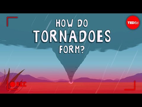
Tornadoes are among the most destructive weather events, and understanding their behavior is crucial for safety.
Scientists have made significant advancements in tornado forecasting, but they still cannot predict every tornado with complete accuracy.
Meteorologists use complex computer models and real-time weather observations to assess conditions favorable for tornado formation, enhancing their ability to warn communities in advance.
Recent research focuses on gathering vast amounts of data, including historical tornado occurrences and current atmospheric patterns. This research helps improve predictive models, making forecasting more reliable.
Techniques such as analyzing surface movement can aid in identifying when and where tornadoes are likely to develop.
Despite these advancements, tornado prediction remains challenging. The unpredictable nature of these storms and their rapid formation means that while scientists can provide warnings based on certain conditions, exact predictions are still a work in progress.
As technology continues to evolve, so too will the tools available for tornado research, allowing for more effective forecasting methods in the future.
Understanding Tornado Formation and Detection

Tornadoes form under specific conditions, mostly associated with severe thunderstorms like supercell thunderstorms. This section explores how tornadoes develop and discusses the advancements in detection technologies that help scientists monitor these dangerous weather events.
The Science of Tornado Genesis
Tornadoes often form within supercell thunderstorms, which are characterized by a rotating updraft called a mesocyclone.
The process begins when warm, moist air rises and meets cooler, dry air. This interaction creates strong wind shear, or changes in wind speed and direction at different altitudes. When these conditions are ideal, a tornado can develop from the rotating column of air.
Tornado formation requires a delicate balance of various elements. The hook echo, a radar signature found in severe thunderstorms, indicates the presence of a tornado. Understanding these patterns is crucial for forecasting.
Researchers study how these factors work together to enhance predictions and warnings. Improved knowledge allows meteorologists to identify areas at risk during peak tornado activity.
Technological Advancements in Tornado Detection
Recent advancements in Doppler radar technology have greatly improved tornado detection. These radars can identify tornado vortex signatures, which show rotation within a storm. This allows meteorologists to ascertain whether a tornado is occurring or forming, particularly in nighttime conditions when visibility is low.
Weather radar systems now offer dual-polarization capabilities. This enhancement enables the detection of irregular objects, such as debris from a tornado.
By using advanced satellite imagery, scientists can track severe thunderstorms more effectively. The integration of these tools leads to better alerts and preparation for communities at risk.
Ongoing research aims to refine these tools further and improve forecasting methods.
Predictive Methods and Weather Forecasting

Predicting tornadoes involves using various techniques and tools to provide early warnings. By combining traditional methods with modern technology, meteorologists can improve the accuracy of forecasts and effectively communicate risks associated with severe weather.
Modern Forecasting Techniques
Meteorologists utilize multiple methods to forecast tornadoes. One important tool is numerical weather prediction models.
These models simulate weather patterns using complex mathematical equations based on atmospheric conditions. Data from weather balloons is crucial as it provides real-time information about temperature, humidity, and wind at different altitudes.
Recently, the National Weather Service has adopted machine learning and artificial intelligence to analyze historical data. This technology enhances the ability to predict tornadoes within severe thunderstorms more accurately.
The Warn-on-Forecast system allows forecasters to issue tornado warnings in advance, focusing on areas at risk based on computer simulations.
Communicating Risk and Warning Systems
Effective communication is essential during severe weather events.
The National Weather Service issues tornado watches and tornado warnings to keep communities informed.
A tornado watch means conditions are favorable for tornadoes, while a tornado warning indicates that a tornado has been spotted or identified through radar.
During severe weather, it is crucial to understand potential hazards, such as flying debris, which can cause injuries and damage.
Communities receive forecasts through various channels, including emergency alerts, social media, and local news. This ensures that individuals have timely information to take safety precautions during extreme weather conditions.
