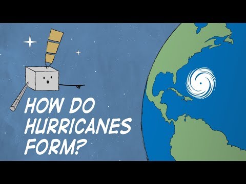
Hurricanes are some of the most powerful storms on Earth, often captivating the attention of meteorologists and the public alike.
Yes, hurricanes can develop two eyes under certain conditions. These phenomena usually occur during complex interactions between storms, such as when two nearby cyclones combine in what is known as the Fujiwara Effect. This leads to unique patterns in storm behavior that are both fascinating and concerning.
Understanding how and when hurricanes can exhibit this unusual feature adds depth to the study of these atmospheric phenomena.
As they evolve, each hurricane can present new challenges for forecasting and disaster preparedness. Meteorologists must remain vigilant, as having two eyes can indicate significant changes in the storm’s structure and strength.
More information about these intriguing storm dynamics can be found in discussions of atmospheric phenomena.
As we explore the possibility of hurricanes having two eyes, it becomes clear that these complexities can impact local weather patterns significantly.
Storm researchers continue to study these rare occurrences to better predict their effects on communities at risk.
Understanding Hurricane Anatomy

Hurricanes, also known as tropical cyclones, have specific structures that dictate their behavior and intensity.
Key components of these storms include the eye, the eyewall, and the surrounding rainbands. Understanding these parts helps to comprehend how hurricanes form, gain strength, and cause damage.
Components of a Hurricane
Hurricanes consist of several major components that work together.
The eyewall is a ring of intense thunderstorms surrounding the eye. This area contains the storm’s strongest winds and heaviest rain.
Outside the eyewall are the rainbands, which are curved bands of clouds and precipitation. These can stretch for hundreds of miles and produce heavy rainfall and strong winds.
Wind speeds in the eyewall can reach over 150 mph during major storms, leading to dangerous conditions. The storm surge, a rise in sea level caused by the winds, can flood coastal areas, creating significant hazards.
The hurricane season, typically from June to November, is when these weather systems are most likely to form. Understanding these components helps assess risks associated with hurricanes.
The Eye of a Hurricane
The eye of a hurricane is the calm center where weather conditions are relatively mild. In this region, winds are light, and skies may clear temporarily.
The eye is typically 20 to 40 miles wide but can vary.
Surrounding the eye is the eyewall, where the largest wind speeds occur. The contrast between the calm in the eye and the violent winds in the eyewall illustrates the storm’s power.
Inside the eye, air descends and warms, contributing to the calm and dry conditions. This is crucial for the storm’s development.
As hurricanes move over warm waters, they gather energy, increasing wind speeds and potentially strengthening the storm. Monitoring wind speeds is essential to gauge the storm’s intensity as it approaches land.
For detailed information on wind behavior, click on Wind.
Phenomenon of Multiple Eyewalls

Multiple eyewalls can occur during a hurricane’s life cycle, affecting its intensity and structure. This phenomenon includes processes such as eyewall replacement cycles, which can lead to significant changes in the storm’s wind patterns and organization. Understanding these concepts helps to explain the dynamics of severe storms.
Eyewall Replacement Cycles
Eyewall replacement cycles are vital to the development of hurricanes.
During this cycle, a new eyewall forms outside the existing one, often leading to the weakening of the inner eyewall. This can create a situation where a storm has two distinct areas of intense winds.
Once the outer eyewall strengthens, the inner one may dissipate, which can affect the storm’s maximum wind speeds. These cycles often occur in major hurricanes, such as Hurricane Wilma and Hurricane Katrina.
Satellite imagery and data from hurricane hunters provide crucial information about these processes, enabling meteorologists to forecast changes effectively.
Historical Occurrences and Studies
Several historical hurricanes exhibit the phenomenon of multiple eyewalls. For instance, Hurricane Allen in 1980 and Hurricane Ivan in 2004 both demonstrated complex eyewall structures.
Studies indicate that hurricanes with concentric eyewalls often produce stronger winds. Research has shown that these hurricanes can maintain intensity during the eyewall replacement cycle, contrary to what might be expected.
Meteorologists monitor these patterns closely during hurricane season to predict potential impacts. Understanding these systems enhances forecast accuracy and offers insights into storm behavior.
