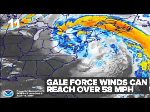
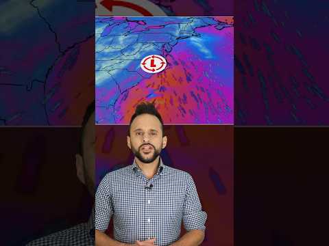
Nor’easters are powerful storms that can bring heavy snow, rain, and strong winds, especially to the East Coast of North America. The connection between air pressure and nor’easters is crucial, as these storms typically form in low-pressure areas.
As the cold air from Canada meets the warmer air over the Atlantic Ocean, it creates a low-pressure system that intensifies into a storm.
In regions like New England, this drop in air pressure leads to the formation of clouds and precipitation. As the storm develops, the difference in air pressure around the storm causes strong winds to blow, contributing to the storm’s power.
This combination of low pressure, moisture, and wind is what makes nor’easters particularly severe during the winter months, capable of causing significant disruptions.
Understanding air pressure is key to predicting the impacts of a nor’easter, from heavy snowfall to coastal flooding. More about how these atmospheric phenomena work can be explored in related articles on atmospheric phenomena.
Mechanics of a Nor’easter

Understanding how nor’easters form and their impact helps in predicting their effects. These storms can bring heavy snowfall, coastal flooding, and strong winds.
The mechanics involve complex interactions between various air masses and pressure systems.
Formation and Development
A nor’easter begins when cold air from the north, often originating from Canada, meets warm, moist air over the Atlantic Ocean. This clash creates a low pressure system.
As the warm air rises, the colder air moves in to replace it, leading to convergence. This interaction can trigger cyclogenesis, or storm development.
As the storm intensifies, the low pressure area deepens. If this process occurs quickly, it results in explosive cyclogenesis, which causes rapid strengthening of the storm system. This can lead to hurricane-force winds and significant precipitation, including heavy rain or snow.
The positioning of the jet stream plays a crucial role by steering these storms along the coast, impacting their trajectory and intensity. Such storms can generate high winds and substantial snowfall or rain, often resulting in blizzards or flooding.
Climatic Impact
Nor’easters affect weather patterns significantly. These storms can bring heavy precipitation, which may lead to coastal flooding and wind damage.
In coastal areas, the combination of storm surge and high winds can result in severe impacts during landfall.
The moisture-laden air from the Gulf Stream enhances precipitation levels, making nor’easters notable for their heavy rain and snow. The interaction between warm and cold air not only fuels the storm but also sets the stage for extreme weather conditions.
Each storm has the potential to lead to blizzard conditions, making travel extremely hazardous. Understanding these mechanisms helps communities prepare for potential impacts like flooding and heavy snow, which can disrupt daily life and endanger safety.
Regional and Seasonal Variations

Air pressure plays a significant role in the development of nor’easters. Variations can be observed based on geographic location and seasonal changes, affecting how these storms form and impact different areas.
Geographic Susceptibility
Certain regions are more prone to nor’easters, particularly along the East Coast and the I-95 corridor. Areas such as New England and the mid-Atlantic are highly susceptible due to their geographical features.
The Atlantic region’s warm ocean waters contrast sharply with colder air masses from the north. This temperature difference creates strong pressure systems that drive nor’easters.
Coastal areas often experience heavier snowfall, as moisture-laden air rises and cools, leading to precipitation. Snow and ice can accumulate quickly when conditions align just right.
Understanding these regional patterns helps residents prepare for harsh winter storms. The influence of the polar jet stream also enhances the likelihood of intense storms in these vulnerable regions.
Temporal Patterns
Nor’easters tend to form more frequently during the late fall and winter months.
The transition from hurricane season to winter storms marks a critical period for these weather events.
Cold fronts moving southward can clash with warmer air from the Atlantic, setting the stage for nor’easter formation.
These storms can occur at any time from November to April, but they are particularly common in January and February.
Snowfall can be heavy, with many areas receiving significant amounts during nor’easters.
Tracking these seasonal patterns allows meteorologists to provide timely alerts.
Residents in affected regions should stay informed during winter months when the risk of severe weather increases due to these seasonal dynamics.
Understanding snow and ice patterns helps communities prepare for these potent storms.

