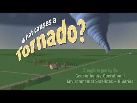
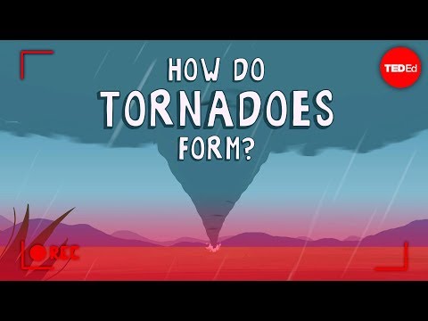
Tornadoes are powerful storms that can create extreme atmospheric conditions, leading to various weather phenomena. One interesting aspect of tornadoes is the presence of rain within them.
Rain can occur inside a tornado, especially in what are known as rain-wrapped tornadoes, where heavy rainfall obscures the tornado itself.
These rain-wrapped tornadoes pose significant challenges for tornado detection and safety, as the storm can be hard to see. This phenomenon arises from the intense updrafts associated with tornado formation, which can pull moisture from the surrounding atmosphere into the storm system.
Understanding these dynamics is crucial for meteorologists and those living in tornado-prone areas.
Through this article, readers will discover more about the intricate relationship between tornadoes and rain, exploring how atmospheric conditions contribute to both the creation of tornadoes and the precipitation that may accompany them.
The Science of Tornadoes

Tornadoes are complex atmospheric phenomena that result from specific conditions. Understanding what constitutes a tornado, how they are categorized, and their formation and structure is vital for both safety and research.
What Constitutes a Tornado?
A tornado is defined as a rapidly rotating column of air that extends from a thunderstorm to the ground. It usually appears as a funnel cloud.
For a tornado to form, certain criteria must be met, including wind shear, which is a difference in wind speed and direction at different altitudes.
A mesocyclone is a crucial part of tornado formation. It refers to a rotating updraft in a supercell thunderstorm. These conditions create instability in the atmosphere, allowing a tornado to develop upon the downward movement of the condensation funnel.
Understanding Tornado Categories
Tornadoes are classified according to the Enhanced Fujita Scale. This scale ranks tornadoes from EF0 to EF5, based on estimated wind speeds and related damage.
Each category indicates the potential destruction:
- EF0: 40-72 mph (light damage)
- EF1: 73-112 mph (moderate damage)
- EF2: 113-157 mph (considerable damage)
- EF3: 158-206 mph (severe damage)
- EF4: 207-260 mph (devastating damage)
- EF5: over 261 mph (incredible damage)
Storm spotters are key in tracking tornadoes and helping categorize them during events.
Tornado Formation and Structure
Tornado formation typically occurs during severe thunderstorms, especially in supercells. As warm and moist air at the surface rises, it creates instability. Meanwhile, cold air aloft creates a mesocyclone.
The structure of a tornado includes the funnel cloud, which is the visible part of the tornado, and the base, which touches the ground.
This funnel can be wrapped in rain, making the tornado hard to see. The most intense winds are usually located at the center.
Understanding this formation process is crucial for forecasting tornadoes and improving safety measures during severe weather events. Knowledge about surface movement can aid in predicting tornado dynamics as well.
Tornado Weather Conditions and Detection

Tornadoes typically form under specific weather conditions. Detection relies on advanced technology and awareness of these patterns. Understanding these factors is essential for effective safety measures.
Recognizing Severe Weather Patterns
Meteorologists closely monitor weather patterns to predict tornado activity. Tornadoes often develop from severe thunderstorms known as supercells. These systems exhibit rotation and can produce strong updrafts.
Key signs of imminent tornado formation include:
- Wall clouds: These formations appear beneath a thunderstorm and can indicate rotation.
- Large hail: This weather phenomenon suggests intense storms and may precede a tornado.
- Dark, greenish skies: A color change in the sky can signal a severe storm.
Understanding these signs can help individuals prepare for a tornado. Taking safety precautions during a tornado watch is vital.
Advancements in Tornado Detection
Modern technology plays a crucial role in tornado detection. Doppler radar systems detect wind patterns and rotation within storms. This technology allows meteorologists to identify the likelihood of tornado formation quickly.
Mobile Doppler radars provide real-time data about storms from various locations. They help in tracking tornadoes and issuing timely tornado warnings, which provide critical information to those in danger.
This technology has dramatically improved safety, especially in Tornado Alley, where tornado activity is more frequent.
Recent advancements enable better forecasting, giving communities more time to respond. Early detection can significantly reduce injuries and save lives during severe weather events.
Safety and Preparedness
In addition to understanding tornado conditions, having a safety plan is essential.
A tornado shelter is a critical space for protection during a tornado. Individuals should identify the safest location in their home or community to take cover.
Maintaining an emergency kit stocked with essentials like water, non-perishable food, and first aid supplies is also vital.
Check your kit regularly to ensure everything is up to date. Being prepared can mean the difference between safety and danger.
Following severe weather (including your local tornado warning), people should stay informed through reliable news sources.
Having this knowledge can enhance personal safety during these unpredictable events.

