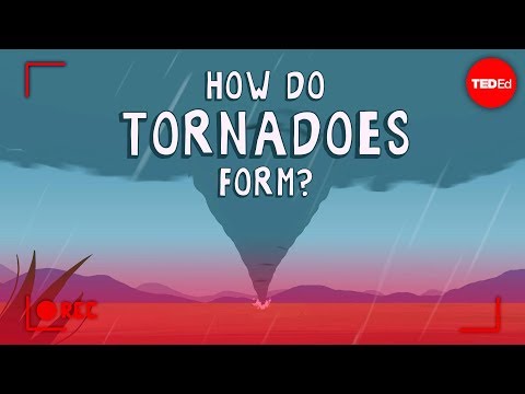
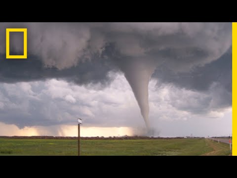
Tornadoes are one of nature’s most powerful forces, capable of causing significant destruction in a matter of moments. For a tornado to form, two key types of air must be present: warm, moist air and cool, dry air.
The warm, moist air typically rises from the ground, while the cool, dry air descends into the atmosphere. This meeting of contrasting air masses creates the unstable conditions necessary for the development of these violent storms.
The interaction between these air masses leads to the spinning motion needed for tornadoes. When warm air rises quickly and meets cooler air, it can create a rotating column of air, especially within a supercell thunderstorm.
Understanding the basics of tornado formation helps in recognizing the signs of severe weather and taking necessary precautions.
As tornadoes can develop rapidly, being aware of these conditions is crucial for safety. This blog post will explore the specific roles of warm, moist air and cool, dry air in tornado formation, providing insights into how these fascinating yet dangerous storms come to life.
Conditions for Tornado Formation

Two key types of air are essential for a tornado to develop. Warm, humid air interacts with cool air, while wind shear provides the necessary rotation. These elements create the right environment for tornado formation, particularly in supercell thunderstorms.
Warm and Humid Air
Warm, humid air plays a crucial role in tornado formation. This air rises from the surface, creating updrafts in thunderstorms.
The warmth helps to fuel the storm, while humidity provides the moisture needed for cloud and precipitation formation.
In a supercell, this rising warm air meets cooler air above. As the warm air ascends, it cools and condenses, forming clouds. This process also releases latent heat, further enhancing the storm’s strength. The collision between warm, moist air and cooler air is vital in establishing the initial conditions for tornado development.
Wind Shear and Cool Air
Wind shear is the change in wind direction and speed at different altitudes. It is critical for rotation in a storm.
For a tornado to form, there must be significant wind shear, which causes horizontal rotation in the lower atmosphere.
As this rotating air comes into contact with rising warm air, it can tilt upward, resulting in a mesocyclone. This rotation is essential for tornado formation.
Additionally, the presence of cool air is important, as it helps to create instability in the atmosphere. When this cooler air moves into the region of rising warm air, it can enhance the development of severe thunderstorms that may produce tornadoes.
Learning about these specific conditions reveals why monitoring temperature, humidity, and wind patterns is vital for predicting severe weather events like tornadoes.
Detecting and Classifying Tornadoes

Accurate detection and classification of tornadoes are vital for public safety. Meteorologists use advanced methods to track tornadoes and assess their intensity, helping to issue timely warnings. This section discusses how tornadoes are detected and the scales used to measure their strength.
Tornado Detection Methods
Tornado detection relies on various techniques. Doppler radar is the primary tool used by meteorologists. It can identify the rotating winds inside a storm, indicating the presence of a tornado.
Storm spotters also play a critical role. Trained volunteers observe weather conditions on the ground and report tornado sightings to authorities. Their real-time observations are essential for confirming tornado activity.
When conditions are favorable, officials issue a tornado watch, signaling that tornadoes could form. If a tornado is spotted or indicated by radar, a tornado warning is issued, allowing people to take cover.
Tornado Intensity and Measurement
Tornadoes are classified using the Enhanced Fujita Scale, which ranges from EF0 to EF5. This scale measures intensity based on wind speed and the resulting damage.
- EF0: Winds 65-85 mph, causing minor damage.
- EF5: Winds over 200 mph, resulting in catastrophic damage.
Meteorologists assess damage after a tornado strikes to classify its intensity accurately. This classification helps communities understand the impact and prepare for future events.
In Tornado Alley, the season for tornadoes typically peaks in spring and early summer.
Understanding the dangers, such as flying debris, is crucial for safety during severe weather.

