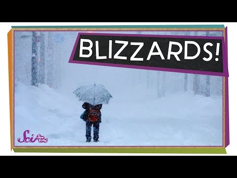
As winter approaches, the signs of severe weather become increasingly important. Knowing what to look for can make a significant difference in safety and preparedness.
Two key signs that a blizzard may be on the way are significantly dropping temperatures and increasing wind speeds. These factors can combine to create the dangerous conditions typical of a winter storm.
When temperatures plummet and the wind starts howling, it’s time to pay attention. Not only can these factors lead to heavy snowfall, but they can also produce whiteout conditions that make travel nearly impossible.
Understanding these warning signs is crucial for anyone spending time outdoors or attempting to travel during the winter months. By staying alert, individuals can keep themselves and their loved ones safe.
Pre-Blizzard Atmospheric Conditions

Understanding the atmospheric conditions that lead to a blizzard can help in preparing for severe winter weather. Key elements include the interaction of cold and warm air, along with moisture and wind patterns.
Formation of Blizzard Conditions
Blizzards form when cold air collides with warmer air. This interaction creates instability in the atmosphere.
Cold air is denser, so it sinks, while warm air rises. As the warm air rises, it cools, causing moisture to condense and form clouds. This process can result in heavy snowfall.
A significant factor in blizzard formation is the presence of high winds. Sustained winds at speeds over 35 miles per hour can cause blizzard conditions. These winds carry snow, drastically reducing visibility. The National Weather Service monitors these conditions closely, issuing warnings when necessary.
Weather Patterns Indicative of Approaching Blizzards
Meteorologists watch for certain weather patterns that suggest a blizzard may be on the way.
One crucial indicator is the warm air in a winter storm. This warmer atmosphere can feed moisture into the storm system, leading to heavy snowfall.
Another sign is the movement of low-pressure systems. These systems often draw in cold air from the north and moisture from warmer areas, creating conditions ripe for a blizzard. When such systems combine with high winds, the risk of severe winter storms increases.
Understanding these patterns can help individuals prepare for potential blizzards and the associated dangers. For more information on atmospheric factors, explore atmospheric phenomena.
Onset of Blizzard Warning Signs

Recognizing the signs of an impending blizzard is crucial for safety and preparedness. Key indicators include specific visual cues and public alerts that provide warnings of severe weather conditions.
Visual and Indirect Indicators
During early signs of a blizzard, visibility often decreases significantly. The presence of blowing snow can lead to whiteout conditions, where one cannot see more than a few feet ahead. This can occur due to strong winds carrying snow and is a primary indicator of approaching harsh weather.
Additionally, a sudden drop in temperature combined with heavy snowfall may signal a snow squall, which can escalate into blizzard conditions. Awareness of these signs can influence decisions about travel and outdoor activities.
Significance of Public Alerts
Public warnings play a vital role in storm preparedness.
The National Oceanic and Atmospheric Administration issues blizzard warnings when conditions meet specific criteria: sustained winds over 35 mph and visibility of less than a quarter mile for at least three hours.
These alerts are crucial for informing the public about possible dangers.
Heeding these alerts allows individuals to take necessary precautions, such as avoiding travel.
Alerts can also inform communities about potential impacts on snow and ice management and local services.
Being attentive to public safety announcements is essential for minimizing risks associated with severe winter weather.

