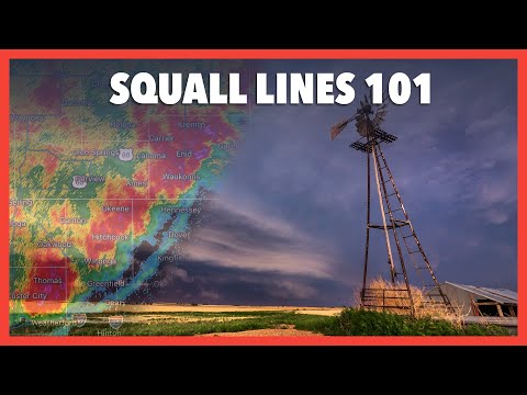
A squall line is a significant weather formation that can lead to severe weather conditions, including damaging winds and heavy rainfall.
These lines of thunderstorms form when warm, moist air rises quickly, leading to the development of organized storms. As these storms move, they can create a powerful downdraft, pushing cold air out and causing strong gusts of wind.
Understanding what causes a squall line is crucial for predicting and preparing for severe weather events.
Meteorology plays a vital role in monitoring these phenomena. Conditions like temperature differences, wind shear, and moisture contribute to the formation of squall lines.
As they develop, they can cause widespread impacts, making it essential to stay informed.
For those interested in further exploring related weather topics, articles about atmospheric changes can provide deeper insights into these dynamic conditions.
Being aware of squall lines and their causes can help people take necessary precautions during severe weather. Monitoring a squall line’s development can ensure better safety for those affected by violent thunderstorms and the associated dangers they bring.
Formation and Structure of Squall Lines

Squall lines form under specific atmospheric conditions and present unique structural features. They typically develop where warm, moist air meets cooler air, often associated with cold fronts. Understanding these aspects is crucial for predicting severe weather events.
Development of Squall Lines
The development of squall lines begins with instability in the atmosphere. When warm, moist air rises, it creates updrafts.
These updrafts are essential because they lift the air, allowing it to cool and condense into cumulus clouds. As these clouds develop, they can grow into larger, more powerful cumulonimbus clouds, which are often seen during thunderstorms.
A cold front plays a significant role in this process. When the colder, denser air moves in, it forces the warm air to rise rapidly, enhancing the updraft. The interaction between these air masses causes shifts in wind, resulting in a gust front.
This front can trigger additional convection, leading to new storm cells.
Characteristics of Squall Lines
Squall lines are typically linear in shape, indicating a continuous line of storms. They can span hundreds of miles and are often marked by heavy rainfall and strong winds. The structure usually includes a leading edge, where the most intense storms occur, followed by lighter precipitation.
Humidity is another key factor in their characteristics. The presence of moisture in the air fuels the development and longevity of the squall line.
As the storm matures, it can produce severe weather such as hail and tornadoes. The convergence of air along the squall line can significantly enhance these dangerous conditions.
Meteorologists closely monitor these systems, especially when they develop along or ahead of cold fronts, as they pose considerable risks to safety and property.
For more information on how air masses interact, you can explore articles on surface movement.
Impact and Significance of Squall Lines

Squall lines are crucial weather phenomena that can bring significant storms and severe weather conditions. Understanding their effects helps improve safety and preparedness for those in affected areas.
Severe Weather Associated with Squall Lines
Squall lines often produce severe weather, including heavy rain, high winds, lightning, and hail.
These storms can lead to rapid flash flooding due to the intense rainfall that can occur over a short period. Heavy rain rates can exceed 2 inches per hour in some cases, creating dangerous conditions.
High winds associated with squall lines can reach speeds of 60 mph or more. This can result in downed trees and power lines, causing power outages and property damage.
Tornadoes can also form within squall lines, making them particularly hazardous. These tornadoes, often weaker than supercell tornadoes, can still cause destruction.
Bow echoes are common features in squall lines, characterized by the curvature of radar echo patterns that indicate strong winds. Additionally, derechos, which are widespread, long-lived wind events, can occur along squall lines, leading to extensive damage.
Detection and Prediction
The detection and prediction of squall lines rely heavily on radar technology.
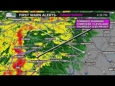
Advanced radar systems can identify the features associated with squall lines, including wind shear and storm intensity. This information helps meteorologists issue timely warnings to the public.
Various tracking tools allow meteorologists to monitor changes in squall lines as they develop.
These tools help provide accurate forecasts for severe weather, improving response times to protect people and property.
Predicting events like tornadoes and severe winds is complex, but technology continues to evolve.
While storms may be difficult to forecast accurately, understanding squall line behavior greatly enhances safety measures.
For example, recognizing electrical storms can inform people to seek shelter during severe events.
