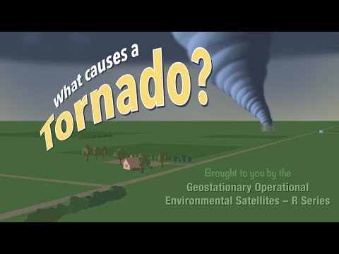
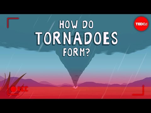
Tornadoes are fascinating yet terrifying events that can form under specific conditions during severe weather.
A tornado forms when warm, moist air rises and meets cold, dry air, creating instability in the atmosphere that can lead to powerful wind speeds and swirling currents. This combination often occurs during tornado season, a timeframe when the right meteorological ingredients come together, especially in regions known for their storm activity.
Meteorologists closely monitor thunderstorm development to predict when and where tornadoes might strike.
The spinning air currents created within these thunderstorms can develop into a tornado if they maintain the right conditions. Understanding these phenomena is crucial for safety and preparedness, helping communities stay alert during potential extreme weather events.
The unpredictable nature of tornadoes makes them particularly dangerous. They can happen at any time, often with little warning, but knowing the factors that contribute to their formation can help people respond appropriately when severe storms approach.
The Science of Tornado Formation

Tornadoes are complex weather phenomena that depend on several key factors. Understanding the role of thunderstorms, wind patterns, and thermodynamics is essential to grasp how tornadoes form.
Understanding Thunderstorms and Supercells
Tornadoes often develop from supercell thunderstorms. These storms are characterized by a strong rotating updraft known as a mesocyclone. A supercell can produce severe weather, including heavy rain, hail, and powerful winds.
When conditions are right, the mesocyclone can become organized.
The process starts with warm, moist air rising. As it ascends, it cools and creates instability in the atmosphere. This instability can lead to the formation of a wall cloud. If the wall cloud connects with a downdraft, a tornado can form. The enhanced Fujita scale is used to rate the intensity of tornadoes based on their damage.
Wind Patterns and Shear
Wind shear plays a crucial role in tornado formation. Wind shear refers to the change in wind speed and direction with height.
When warm air at the surface meets cool air above, it can create an unstable environment. The wind speed can vary greatly, leading to a spinning column of air.
When these conditions occur, the rotation can intensify. In Tornado Alley, a region in the U.S. known for tornado activity, wind shear is often present. Tornado watches and warnings are issued when forecasters predict these conditions could lead to a tornado. Understanding wind patterns helps meteorologists track severe thunderstorms and issue timely alerts.
Thermodynamics: Warm and Cold Air
Thermodynamics is essential in tornado formation. Warm, moist air is lighter and rises, while cooler air is denser and sinks. This movement creates strong updrafts within a storm. The interaction between warm air and cooler air masses leads to instability.
As warm air rises rapidly, it creates low pressure around it. This pressure drop can suck in surrounding air, turning it into a rotating updraft. When conditions align, the rotating column of air can extend down to form a funnel cloud. If the funnel cloud touches the ground, it becomes a tornado. This process underscores the delicate balance of air temperature and pressure that fuels severe thunderstorms and tornadoes.
Tornado Characteristics and Safety Measures

Tornadoes are violent storms that can cause severe destruction. Understanding their characteristics is vital for safety and preparedness. The following sections highlight patterns of tornado occurrence, how forecasts are made, and ways to minimize damage during these events.
Patterns and Seasonality of Tornado Occurrence
Tornadoes primarily occur in Tornado Alley, which includes states like Texas, Oklahoma, Nebraska, and Iowa. This region is prone to severe storms, especially during the spring months.
Tornado season typically runs from March to June, with peak activity often seen in April and May. During this time, warm, moist air from the Gulf of Mexico meets cool, dry air from the north. This clash creates conditions suitable for tornado formation.
Tornadoes can happen at any time but are most common between 4 PM and 9 PM. They can also occur during the winter months, although less frequently, sometimes joining with severe weather like lightning and waterspouts.
Predicting and Responding to Tornadoes
Predictive technology is crucial for tornado preparedness. Doppler radar helps meteorologists track storms and identify rotation in cloud systems. This capability allows for early warnings and alerts. The National Weather Service (NWS) issues tornado watches when conditions are favorable, and tornado warnings when a tornado is confirmed or indicated by radar.
Storm spotters play an essential role, providing real-time observations that enhance forecasting. Public awareness of these alerts can significantly reduce injuries and fatalities. Communities are encouraged to have a plan in place, ensuring everyone knows where to seek shelter during a tornado.
Mitigating Tornado-Related Damage
The Enhanced Fujita Scale measures tornado intensity and the resulting damage. Ranging from EF0 to EF5, this scale helps communities prepare for potential destruction.
An EF5 tornado can produce winds over 200 mph, leading to catastrophic damage.
Building codes in tornado-prone areas focus on strengthening structures to withstand these storms. Having a safe room or storm shelter is critical.
Local governments often provide guidance on construction and safety resources.
In the aftermath of a tornado, the recovery process can be daunting. It is essential to stay informed about local services that offer help, whether through tornado research or reconstruction efforts.
Implementing safety measures and understanding tornado behavior can save lives and reduce property loss.
