
Waterspouts are fascinating phenomena that often capture a person’s attention when they form over water bodies.
A water tornado, known as a waterspout, typically appears as a visible funnel extending from a cumuliform cloud down to the surface of the water. This funnel-shaped cloud is a rotating column of air that can create a mesmerizing sight, especially under the right weather conditions.
When conditions are perfect, these waterspouts can be both beautiful and dangerous. They usually occur during storms or severe weather, similar to regular tornadoes on land.
While most waterspouts are relatively weak, their striking appearance can still be alarming, as they often produce turbulent winds and unpredictable waves.
For those interested in extreme weather, the visual spectacle of a waterspout offers a unique blend of nature’s beauty and power, making it a topic worth exploring further.
For anyone who craves more insights on this subject, the beauty and unpredictability of waterspouts can be examined through various lenses, including how they form and their differences from traditional tornadoes. Discovering more can enhance appreciation for these incredible weather events and their impact on the environment, making them an exciting topic for weather enthusiasts and casual readers alike. The articles about waterspouts can shed light on their intriguing complexities.
Physical Characteristics of Water Tornadoes
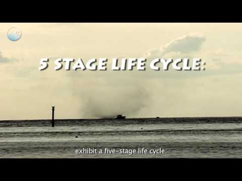
Waterspouts are fascinating weather phenomena with distinct physical features. They can be categorized into two main types: fair-weather waterspouts and tornadic waterspouts. Understanding their visual appearance and structure is key to spotting these events.
Visible Features and Structure
A waterspout typically has a visible funnel that connects the cloud base to the water surface. This funnel is often surrounded by funnel clouds, which are clouds that form above the water without reaching it.
When observed, a rotating column of air creates a spiral pattern. The base of the funnel can be quite dark due to water droplets and debris being drawn up. Near the surface, a spray ring may be visible, showing where the water is being disturbed.
Cumulus clouds often accompany these events, providing a backdrop that enhances their visual appeal.
The intensity of the waterspout can vary. Some appear as weak, slender funnels, while others can be more robust and dramatic, showcasing the forces of nature in action.
Different Types of Waterspouts
There are two main categories of waterspouts: fair-weather waterspouts and tornadic waterspouts.
Fair-weather waterspouts are generally less intense and form in calm conditions. They are often associated with weak, non-severe thunderstorms. These waterspouts usually dissipate quickly, making them shorter-lived events.
Tornadic waterspouts, however, originate from severe thunderstorms. They have the same characteristics as land tornadoes and can be much more dangerous.
Associated with intense winds, large hail, and frequent lightning, these waterspouts are serious weather events. Recognizing the conditions that lead to their formation is essential for safety. Understanding how rotating air influences their strength aids in predicting potential hazards during severe weather. For additional information on related weather phenomena, consult articles on wind.
Environmental Impact and Safety Considerations

Water tornadoes can pose specific risks to the environment and public safety. Understanding the potential damage and implementing safety measures are critical for those near affected areas. Meteorological analysis can help predict and prepare for these dangerous events.
Potential for Damage and Safety Measures
Water tornadoes can cause significant damage, especially to boats and infrastructure along coastlines. High winds can tear through marinas, leading to overturned vessels and hazards in the water.
Injuries can occur if a tornado touches down unexpectedly, emphasizing the need for marine warnings and proper emergency plans.
To stay safe, those in affected areas should monitor local weather reports and heed tornado warnings issued by the National Oceanic and Atmospheric Administration.
In addition, safety precautions should include securing boats and ensuring that lifesaving equipment is readily available. Quick responses to changing weather conditions can mitigate the risk of injuries and property damage.
Meteorological Analysis and Predictions
Meteorologists play a crucial role in analyzing the conditions that lead to water tornadoes.
Factors such as wind shear, varying wind speeds, and temperature differences create the complex weather patterns necessary for tornado formation.
Forecasters closely monitor these elements, especially in regions like the Great Lakes, where such phenomena can develop rapidly.
Predictions regarding water tornadoes often rely on advanced radar technology that identifies conditions conducive to their formation.
The issuance of tornado warnings can provide critical advanced notice, allowing individuals and communities to prepare appropriately.
Understanding how these events occur can empower residents to stay safe and informed during extreme weather occurrences.
For more information on atmospheric phenomena, see Atmospheric Phenomena.