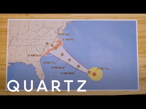
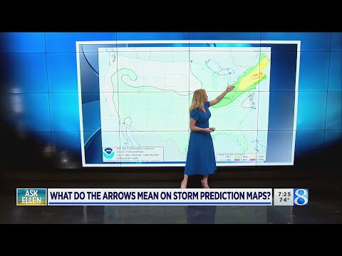
When looking at a hurricane map, it is common to see the letter “L” marked in certain areas. The “L” stands for low pressure system, which indicates rising air that typically leads to cloud formation and precipitation.
Understanding this symbol is crucial for interpreting weather patterns and forecasts related to hurricanes.
Meteorologists use these symbols to provide quick visual cues about current weather conditions. A low pressure system often signals the development of severe weather, including hurricanes. By recognizing what the “L” signifies, anyone can better grasp the potential impact of a storm as it approaches coastal regions.
With 30 years of experience in meteorology, it is easy to see how familiarity with these symbols enhances public awareness and safety. Knowing that a low pressure area is developing can prompt individuals to stay informed and take necessary precautions as a hurricane nears.
Understanding Hurricane Maps

Hurricane maps are essential tools for conveying critical weather information. They feature various symbols and terms that help interpret storm systems, making it easier for the public and meteorologists to understand potential impacts.
Symbols and Terminology
Hurricane maps contain several symbols and terms that provide vital information during storm events. Key symbols include “L” for low pressure systems, which are often associated with storm development, and “H” for high pressure areas.
Other important elements include:
- Isobars: Lines on the map that connect points of equal atmospheric pressure. Close isobars indicate stronger winds.
- Tropical depression: Signified when winds are below 39 mph.
- Tropical storm: Occurs when wind speeds reach between 39 mph and 73 mph.
The National Hurricane Center and the National Weather Service utilize these symbols to provide accurate forecasts and warnings during hurricane season.
The Meaning of ‘L’ on Hurricane Maps
The letter “L” on hurricane maps indicates a low pressure system. This symbol is crucial because low pressure systems are linked to rising air, leading to cloud formation and precipitation, common in hurricanes and tropical cyclones.
In meteorology, an “L” typically suggests that the storm is gaining strength. For example, as a hurricane intensifies, the central pressure drops, often indicated by a prominently marked “L.” This can signify the potential for severe weather, making its understanding essential for public safety.
The presence of an “L” can also indicate possible forecasts of tropical depressions or storms. Monitoring these systems allows for timely warnings and preparations, reducing risks during extreme weather events.
Meteorological Considerations for Forecasting

Effective forecasting of hurricanes and tropical storms relies on understanding various meteorological factors.
Analyzing Wind Patterns and Speeds
Analyzing wind patterns and speeds is essential for accurate predictions.
Wind patterns play a crucial role in hurricane development and movement. Meteorologists examine wind speed and direction to predict a storm’s path. A strong wind speed, classified on the wind scale, indicates potential damage and helps categorize the storm.
Tropical cyclones can intensify rapidly, especially if warm temperatures provide energy. Tracking these changes requires specialized data sets and radar images. For example, when a storm is designated as an “invest,” it prompts detailed monitoring and analysis.
Winds and cloud cover can impact the storm’s trajectory and strength. Recognizing shifts in wind patterns aids in issuing hurricane warnings or watches effectively.
Influences on Weather Conditions
Several weather conditions affect hurricane forecasts.
Temperature, humidity, and precipitation levels are vital in understanding storm behavior.
Warm ocean water feeds hurricanes, increasing their strength and leading to warnings for tropical storms.
Meteorologists assess air pressure and cloud cover to analyze storm systems.
Weather models use this data to predict future conditions, helping to prepare regions at risk.
Storm surge poses a significant threat during hurricane season, as rising waters can cause devastating flooding.
Monitoring these factors helps decide when to issue a tropical storm watch or other alerts.
A comprehensive view of the environment aids forecasters in understanding potential impacts on the affected areas.
