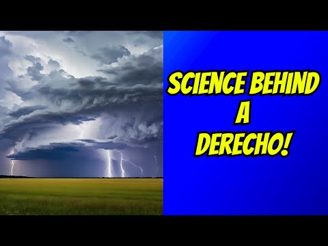
When discussing severe weather, it’s essential to understand the terminology used by meteorologists.
A derecho is a specific type of wind storm characterized by a long-lasting cluster of thunderstorms. Another name for a derecho is “straight-line wind storm,” which highlights the powerful, straight-line winds that can cause significant wind damage across wide areas.
Derechos often occur during warmer months and can produce damaging wind swaths that affect trees, buildings, and power lines.
These storms can be mistaken for tornadoes due to their destructive capacity, but they differ in that they do not have a rotating column of air.
Straight-line winds from a derecho can reach speeds of over 100 miles per hour, making them devastating when they strike populated areas.
Understanding the term “derecho” helps people better prepare for the damages that such storms can cause. As extreme weather events become more frequent, knowing the signs and terminology can aid in safety and response efforts.
The Science of Derechos

Derechos are powerful windstorms that can cause extensive damage. Understanding their formation, classification, and historical occurrences helps in predicting and responding to these severe weather events.
Formation and Development
Derechos form within a mesoscale convective system, which is a complex of thunderstorms working together.
The key feature in their formation is the bow echo, a shape resembling a bow seen on radar. This bowing structure develops when strong outflow winds from a thunderstorm create a gust front.
This front can cause additional storms to form in a line, leading to a downburst cluster.
As these systems evolve, strong winds arise from downbursts, particularly microbursts, which are small yet powerful downward bursts of wind.
These winds can reach over 58 miles per hour, creating extensive straight-line damage. Forecasters, such as those at the National Weather Service, monitor these systems closely to issue timely warnings to those in affected areas.
Classification of Derechos
Derechos can be categorized mainly into two types: progressive and serial.
Progressive derechos move quickly across large distances. They can affect areas for hours, producing strong winds and heavy rain.
In contrast, serial derechos can stall over one area for a longer period, causing prolonged wind damage and flash flooding.
Key indicators used in classification include the wind speed and the size of the area affected.
For example, a derecho can produce winds exceeding 93 kilometers per hour over a distance greater than 400 kilometers. This classification helps meteorologists assess the potential severity of the event and communicate risks effectively.
Historical Analysis
The term “derecho” was coined by Dr. Gustavus Hinrichs in 1888. Since then, numerous cases have been documented, particularly in the U.S. during late spring and summer.
These storms can be some of the most dangerous due to their intensity and rapid onset.
Historical data show that over time, the frequency of derechos has increased in some regions. This rise can be linked to changes in weather patterns that affect thunderstorm development.
Analyzing past severe weather events helps improve forecasting models and awareness of these significant atmospheric phenomena, thus supporting better preparedness and response efforts. For more on the impact of wind in severe weather, see articles on Wind.
Impacts and Safety Measures

Derechos can cause significant damage and disruption. Understanding their effects and learning appropriate safety measures is crucial for minimizing risks and protecting lives.
Damage and Effects
Derechos produce damaging winds that can reach hurricane-force, often leading to widespread destruction.
Wind gusts can exceed 58 mph and extend over large areas, creating a damaging wind swath. This force can uproot trees, damage roofs, and destroy buildings.
In regions like the southern plains and the Midwest, derechos can affect outdoor activities, posing a risk during late spring storms. Damage may also lead to flash floods due to sudden rainfall, further complicating recovery efforts. Monitoring weather reports and advisories from authorities such as the National Weather Service is vital for awareness during these events.
Preparedness and Response
Being prepared for a derecho is essential for safety.
Residents should create an emergency plan that includes identifying safe locations and preparing a disaster kit with food, water, and first-aid supplies.
It is also important to secure outdoor items that might become projectiles in high winds.
During storms, seek sturdy buildings or designated storm shelters. Staying indoors and away from windows is crucial.
Authorities may issue warnings and updates, so using reliable sources such as Environment Canada or the National Weather Service for real-time information is advisable.
Public Education and Resources
Education plays a key role in mitigating the effects of derechos.
Communities should hold workshops to raise awareness about these weather events.
Resources like pamphlets and online materials can help residents understand the science behind derechos and their potential impacts.
In regions like Ontario, Quebec, and Maine, collaborating with local meteorologists can enhance public knowledge.
Continuous training for emergency responders ensures that they can effectively assist during derechos.
Access to climatological information helps communities prepare better for severe thunderstorms that might trigger derechos.

