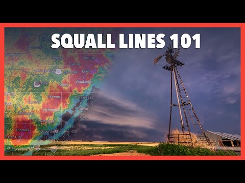
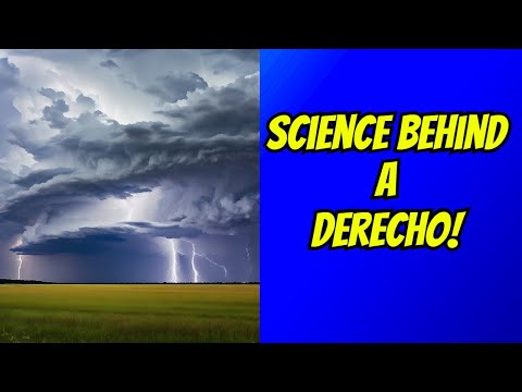
Thunderstorms can create various severe weather patterns, two of which are squall lines and derechos. While both can produce strong winds and heavy rain, they have distinct characteristics that set them apart.
A squall line is typically a line of storms that can move quickly and bring brief but intense weather, whereas a derecho is a more powerful storm system known for causing widespread damage across a longer distance.
The main difference lies in their structure and impact; squall lines are organized groups of storms, while derechos are severe storm complexes that create sustained winds and extensive damage. Recognizing these differences is crucial for understanding weather patterns and preparing for severe weather events.
Meteorologists use radar to track these phenomena, allowing communities to stay informed and safe.
For those intrigued by atmospheric phenomena, exploring the differences between these storm types offers valuable insights into how weather systems develop.
Learning the characteristics of each can enhance awareness of severe weather risks.
Understanding Squall Lines

Squall lines are significant weather phenomena characterized by a line of thunderstorms. They can cause severe impacts, affecting both safety and the environment.
This section explores how squall lines form and their main characteristics, as well as the effects they produce.
Formation and Characteristics
A squall line forms when a series of thunderstorms align in a long, narrow band. This arrangement typically occurs ahead of a cold front.
As warm, moist air rises rapidly, it creates strong updrafts that fuel the thunderstorms.
These storms can travel at speeds of 25 to 50 miles per hour. They are often associated with a phenomenon known as bow echo.
In bow echoes, the line of storms bows out in a shape resembling an arc. This structure can enhance wind gusts, leading to damaging winds and heavy rain.
Squall lines usually extend hundreds of miles in length but only span 10 to 20 miles in width. They can produce severe weather, including large hail and frequent lightning.
Understanding their formation helps in forecasting their impacts.
Impacts of Squall Lines
Squall lines can have significant effects on the areas they pass through. The combination of heavy rain and wind gusts can lead to flash flooding and downed trees.
When squall lines move through urban areas, this can exacerbate damage to structures and infrastructure.
Additionally, squall lines pose a risk for tornado formation. Although not as common, tornadoes can develop when the conditions are right.
The intense updrafts and wind shear present in these storms create an environment conducive to tornado development.
The threat from these storms emphasizes the need for effective surface movement monitoring. Proper alerts help communities prepare and respond to the dangers posed by squall lines and associated electrical storms.
Examining Derechos

Derechos are complex wind storms that produce straight-line winds over a large area. They can cause significant damage and are often associated with specific weather patterns, like bow echoes. Understanding their characteristics helps meteorologists forecast their impact.
Criteria and Formation
To classify as a derecho, a storm must meet specific criteria. First, it must produce sustained winds of at least 58 mph, typically from downbursts associated with thunderstorms.
These winds can cause severe wind damage over a distance of at least 240 miles.
Derechos often form in a mesoscale convective complex, which is a cluster of storms. They can develop into either a progressive derecho, which moves quickly, or a serial derecho, which consists of multiple storms that occur in succession.
Recognizing the signs of these storms helps meteorologists issue timely warnings and inform the public about potential hazards. For more insight into wind patterns, visit Wind – ChaseDay.com.
Derechos vs. Tornadoes
While both derechos and tornadoes produce strong winds, they differ in key ways.
Tornadoes are more localized, causing damage within a narrow path. They form from supercells, which are individual, rotating thunderstorms.
In contrast, derechos cover much larger areas with straight-line winds.
Tornadoes may reach wind speeds over 300 mph, while derechos typically have sustained winds of 58 mph or more.
The risk of tornado formation usually arises under distinct conditions, whereas derechos are often related to broader weather systems.
Understanding these differences is crucial for effective storm tracking and warning strategies for communities at risk.

