
Thunderstorms are one of nature’s most powerful phenomena, showcasing incredible force and complex behavior. Many wonder how high these massive clouds can rise.
The highest recorded thunderstorm cloud reached around 75,000 feet, or more than 14 miles into the atmosphere. These towering clouds can produce severe weather, including lightning, hail, and even tornadoes.

In the world of meteorology, understanding the height of these storms is crucial. The tall and intense cumulonimbus clouds indicate severe weather patterns.
Active research continues into these atmospheric giants, revealing their potential for unprecedented weather events. For those fascinated by the dynamics of storms, atmospheric phenomena offer a wealth of exciting insights.
As storms develop, layers of moisture and energy combine to create these lofty structures. Their impressive heights can also lead to some of the highest recorded voltages in nature.
Exploring the characteristics of these clouds enhances understanding of extreme weather events and their impact on our environment.
Characteristics of Cumulonimbus Clouds

Cumulonimbus clouds are towering structures that often indicate thunderstorms. Their characteristics reveal their formation, physical structure, and the severe weather they can produce.
Formation and Development
Cumulonimbus clouds form in the troposphere when warm, moist air rises. This updraft causes the air to cool, leading to condensation and cloud formation.
As the cloud grows, its height can reach into the lower stratosphere, often reaching the tropopause.
These clouds begin as cumulus or cumulonimbus calvus clouds. With strong updrafts, they develop into mature cumulonimbus formations. The presence of wind can affect their growth, leading to more complex developments.
Heat and moisture are essential, as they fuel the storm, allowing for phenomena like hail and lightning.
Physical Structure
Cumulonimbus clouds have a distinctive appearance. They can form an anvil shape at their tops, known as cumulonimbus capillatus, which can extend across the sky.
The tops can tower over 60,000 feet, with overshooting tops indicating severe weather potential.
These clouds contain a variety of structures, including:
- Cumulonimbus calvus: a less developed stage with rounded tops.
- Anvil clouds: flat tops that spread out, often bringing severe storms.
These features are important as they can suggest approaching thunderstorms with damaging winds or tornadoes.
Associated Weather Phenomena
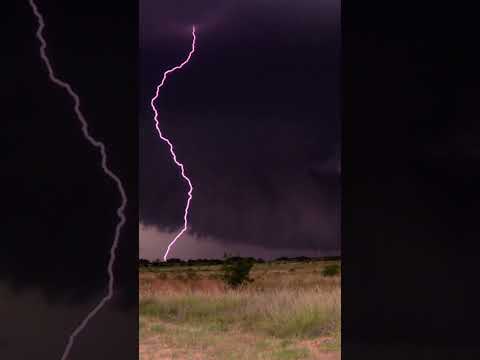
Cumulonimbus clouds are known for producing severe weather. They create thunderstorms that can unleash lightning, heavy rain, and hail.
Thunder is a result of the rapid expansion of heated air due to lightning strikes.
Severe thunderstorms can lead to extreme weather events such as strong winds and tornadoes.
The dynamics within these clouds contribute to such phenomena, causing significant impact on the environment. Articles on electrical storms describe these fascinating processes further.
Understanding these characteristics helps in predicting and preparing for severe weather events effectively.
Record-Setting Thunderstorm Observations
Thunderstorms can reach incredible heights and display extreme characteristics. Observing these record-setting storms provides valuable insight into their formation, behavior, and impact on weather patterns.
Historical Measurements
Cumulonimbus clouds are known for their towering heights. Measurements show that the tallest thunderstorms can reach heights of up to 75,000 feet, primarily in tropical regions. The tropopause, which is the boundary between the troposphere and stratosphere, aids in determining the maximum height of these storms.
In 2010, a remarkable thunderstorm in Vivian, South Dakota, recorded an impressive height of 17 kilometers. This storm featured a supercell structure known for its strong updrafts and severe weather potential. Meanwhile, radar and weather balloons are essential tools for capturing data and observing these cloud formations.
Extreme Thunderstorm Case Studies
Several significant thunderstorm events have provided exceptional data on their intensity and structure.
For instance, the Plainfield tornado and other severe thunderstorms have shown how overshooting tops can form. These tops occur when a strong updraft pushes cloud tops higher than normal.
Lightning can also be a major factor in these extreme storms.
A thunderstorm in the western equatorial Pacific has been documented with heights approaching 14 miles, making it one of the most intense systems observed.
Storm chasing teams often track these systems to gather critical information using advanced radar and satellite technology. This data is crucial for understanding severe weather events and improving forecasting methods.