
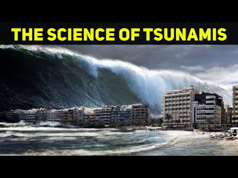
Tsunamis are among the most powerful natural disasters on Earth, capable of causing massive destruction in a matter of minutes.
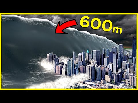
While many tsunamis have left their mark on history, the strongest tsunami ever recorded reached an astonishing height of 1,720 feet in Lituya Bay, Alaska, on July 9, 1958.
This local tsunami was triggered by an earthquake and a rockfall, showcasing the incredible forces that can emerge from seismic activity.
Understanding tsunamis involves recognizing the relationship between underwater earthquakes and the intense waves that follow. These waves can travel across oceans, impacting coastlines thousands of miles away.
The Lituya Bay event serves as a reminder of the power of nature, as even a remote location can experience extraordinary waves that reshape the landscape.
As we explore the strongest tsunamis in history and the factors that contribute to their formation, it becomes clear that these events are not only significant due to their height but also for their lasting impact on communities and ecosystems. Readers will find it fascinating to learn about notable tsunamis and the stories behind them.
Historical Impact of Tsunamis
Tsunamis have caused significant destruction and loss of life throughout history. Major events have led to extensive research on tsunami behavior and their impacts on coastal communities. Three notable incidents highlight the severe consequences of these natural disasters.
Tōhoku Earthquake and Tsunami
On March 11, 2011, the Tōhoku earthquake struck off the coast of Japan, measuring 9.0 in magnitude. The earthquake triggered a massive tsunami that reached heights of up to 40.5 meters (133 feet).
Coastal communities in northeastern Japan faced catastrophic flooding.
The tsunami’s waves swept inland, destroying entire towns. An estimated 18,500 people lost their lives, making this one of the deadliest tsunamis in recorded history. The disaster also led to the Fukushima Daiichi nuclear accident, adding to the crisis. This event spurred advancements in tsunami research and emergency preparedness in Japan.
The Indian Ocean Disaster
The Indian Ocean tsunami on December 26, 2004, was one of the deadliest natural disasters ever. Triggered by a 9.1 magnitude earthquake off the coast of Sumatra, the tsunami produced waves reaching as high as 30 meters (98 feet).
The impact felt across fourteen countries, with Indonesia being the hardest hit.
Over 230,000 people perished as coastal communities faced unprecedented devastation. This disaster highlighted the need for better tsunami warning systems. In its aftermath, global efforts increased to improve research and understanding of tsunamis, leading to the establishment of the Indian Ocean Tsunami Warning System.
The Great Alaska Earthquake
On March 27, 1964, the Great Alaska Earthquake, measuring 9.2 in magnitude, created significant tsunami waves. These waves reached heights of 25 meters (82 feet) in places like Lituya Bay.
The earthquake generated a megatsunami, impacting Alaska’s coastal areas dramatically.
Around 130 lives were lost due to the tsunami and its effects. The disaster prompted extensive research on tsunamis, particularly on flooding and wave dynamics. The Fairweather Fault’s geological activity was studied to better understand tsunami generation in this region. This event remains one of the most powerful earthquakes and tsunamis in history, shaping future studies on seismic hazards.
Tsunami Formation and Warning Systems
Tsunamis are massive waves typically caused by underwater disturbances. Understanding how these waves form and the systems in place to detect them is crucial for disaster preparedness and safety.
Environmental Precursors to Tsunamis
Tsunamis often result from various natural events. Earthquakes are the primary cause, especially those occurring along tectonic plate boundaries in the Pacific Ring of Fire.
When an earthquake happens underwater, it displaces a large volume of water, leading to powerful waves.
Volcanic eruptions can also trigger tsunamis, especially if a volcano collapses or a large explosion occurs. Additionally, landslides, whether from rockfalls or glacier movements, can produce waves that travel across water bodies. Recognizing these precursors is essential for timely warnings.
NOAA monitors seismic activity and surface movement to predict potential tsunami events. For more information on how these movements happen, visit Surface Movement.
Advancements in Tsunami Detection
Detecting tsunamis early can save lives.
Tsunami warning systems have advanced significantly to provide timely alerts. These systems utilize seismic data to identify earthquakes of sufficient magnitude that can create a tsunami.
The NOAA operates several monitoring stations along coastlines. Once an event is detected, data is analyzed in real time.
If a tsunami is possible, alerts are sent to local authorities.
Continuous improvements in technology and tsunami research enhance these systems, reducing the impacts of such disasters.
Preparedness programs inform communities about evacuation routes and safety measures. These initiatives aim at minimizing risks when a tsunami strikes.
For details on water-related events and impacts, refer to Water.