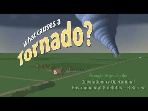
Thunderstorms are powerful systems that can bring heavy rain, lightning, and strong winds.
What turns a thunderstorm into a tornado is the presence of a specific set of conditions, primarily including warm, moist air, and significant wind shear. These elements create a dynamic environment where the storm can develop rotating columns of air, leading to tornado formation.
When a thunderstorm begins to organize into a supercell, it sets the stage for potentially severe storms.
During this process, rising warm air creates instability, while changing wind speeds and directions at different altitudes contribute to the necessary wind shear. This combination is crucial for the development of a mesocyclone, which is a rotating updraft that can eventually lead to a tornado.
Understanding how these atmospheric phenomena interact helps in forecasting severe weather events.
Keeping an eye on the conditions that facilitate tornado formation can aid both meteorologists and the general public in anticipating dangerous storms.
Anyone wanting to learn more about these atmospheric changes and how they influence weather patterns can explore more about atmospheric phenomena.
Conditions Leading to Tornado Genesis

Understanding the conditions that lead to tornado formation is crucial for predicting severe weather events.
Key factors include the role of supercell thunderstorms, specific atmospheric ingredients, and the impact of wind shear on storm development.
Role of Supercell Thunderstorms
Supercell thunderstorms are the primary breeding grounds for tornadoes. These storms are characterized by a rotating updraft called a mesocyclone. The rotation is crucial as it allows the storm to maintain itself for longer periods.
Warm, moist air rises in the updraft while cool air descends. This interplay creates instability, which fuels the storm’s growth.
As the storm matures, it can produce strong winds. Under the right conditions, these winds can tighten into a vortex, leading to tornado formation.
Vital Atmospheric Ingredients
Several atmospheric elements are vital for tornado genesis. Warm, humid air acts as fuel, while cooler air from above provides lift. The combination of these elements leads to significant energy buildup.
Instability is also essential. It allows air to rise more efficiently within the storm.
When enough energy is present, rotating air currents can develop. This increases the likelihood of a tornado forming.
Specific conditions must be met to achieve this, including sufficient humidity, warmth, and atmospheric lift.
The Wind Shear Effect
Wind shear refers to the change in wind speed and direction with height. It plays a significant role in tornado development.
Strong wind shear can create a rotating environment within thunderstorms. As warm air rises, cooler air descends, causing rotation in the atmosphere.
This spinning air can increase vertical speed, enhancing the storm’s capability to produce tornadoes. Proper wind shear creates favorable conditions for a tornado to form by promoting the necessary rotation needed for a tornado to develop.
Keeping an eye on wind patterns is essential for predicting tornado risk, as it directly relates to tornado watches and warnings issued during severe weather.
Characteristics of Tornado Development

Tornadoes form under specific conditions during thunderstorms. Understanding the stages of development and how tornado intensity scales is crucial for predicting these dangerous weather events.
Formation of the Funnel Cloud
The formation of a funnel cloud begins when a strong updraft within a thunderstorm lifts moist air.
As this warm, humid air rises, it cools and condenses, creating a condensation funnel. The presence of a wall cloud often signals the potential for tornado development. This low-hanging cloud indicates strong rotation and updrafts.
The combination of warm, moist air from the Gulf of Mexico and cold, dry air from Canada creates an unstable atmosphere. The collision of these air masses can lead to severe thunderstorms, particularly in regions like Tornado Alley. Storm spotters play a vital role in identifying funnel clouds as they develop, enabling timely tornado warnings.
Scaling Tornado Intensity
Tornado intensity is measured using the enhanced Fujita scale, which ranges from EF0 to EF5. This scale assesses the damage caused by tornadoes, providing a clear understanding of their strength.
Wind speeds for EF0 tornadoes can be as low as 65 mph, while EF5 tornadoes reach over 200 mph.
Damage from these storms can include uprooted trees, destroyed homes, and scattered debris. Doppler radar technology helps meteorologists track tornadoes’ rotation and intensity.
By observing changes in wind patterns and storm behavior, forecasters can issue warnings, potentially saving lives.
During tornado season, residents in high-risk areas should seek secure shelter and stay informed of evolving weather conditions.

