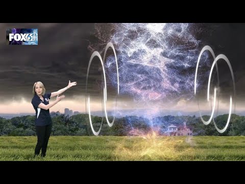
Tornadoes are some of nature’s most powerful storms, often forming under specific atmospheric conditions. Wind shear is essential for tornado formation, as it creates the necessary conditions for these violent systems to develop.
Without the changing winds at different heights, the rotating columns of air essential to tornadoes cannot arise.
During tornado season, particularly in regions known as Tornado Alley, supercells are the storms most likely to produce tornadoes. These large thunderstorms rely heavily on wind shear to create instability in the atmosphere.
As warm, moist air rises and interacts with cooler air above, the right kind of wind shear can lead to the rotation necessary for a tornado to form.
Tornado Formation and Wind Shear

Wind shear plays a crucial role in the formation of tornadoes. It refers to the change in wind speed or direction with height, which can lead to the development of rotating updrafts in thunderstorms.
Understanding how wind shear interacts with updrafts is essential for comprehending tornado formation, particularly in supercell thunderstorms.
The Role of Wind Shear in Tornadogenesis
Wind shear is vital for creating the conditions necessary for tornadoes. When warm, moist air rises and meets cooler, drier air, it creates instability.
This instability, combined with wind shear, can initiate a rotating updraft. This updraft intensifies as it pulls in surrounding air.
Without sufficient wind shear, these updrafts may not rotate and fail to develop into tornadoes. The presence of strong vertical wind shear in the atmosphere can significantly increase the likelihood of tornadoes forming during severe thunderstorms.
The Concept of Wind Speeds and Updrafts
Wind speeds vary at different altitudes, and this difference is critical for forming tornadoes. When the wind speed increases with height, it creates a horizontal spinning effect.
This horizontal rotation can be tilted into a vertical orientation by an updraft, particularly in supercell thunderstorms. These rotating updrafts are key to tornado formation.
Alongside the updraft, downdrafts also play a part, but the rotating updraft is where the tornado begins to take shape.
An understanding of how wind speeds interact with these updrafts is important for predicting tornado activity.
Supercell and Non-Supercell Tornadoes
Most tornadoes develop from supercell thunderstorms, which are characterized by a persistent rotating updraft. Within supercells, the vertical wind shear helps sustain this rotation.
Non-supercell tornadoes, like landspouts, exist but typically form under different conditions. They may occur in weaker storms with less defined updrafts.
While these tornadoes can be less intense, they still pose risks. Understanding the differences between supercell and non-supercell tornadoes sheds light on various tornado types and their formation mechanisms.
The dynamics of these systems illustrate why wind shear remains essential for tornado formation. For more on wind patterns, consider exploring articles on wind.
Tornado Detection, Warning Systems, and Safety Measures

Tornado detection, warning systems, and safety measures are critical for minimizing the impact of these severe weather events. Understanding how forecasters predict tornadoes and the meaning of various alerts can save lives.
Effective safety practices are also essential during a tornado.
Advancements in Tornado Forecasting
The accuracy of tornado forecasting has improved significantly due to advances in technology. Doppler radar plays a key role in detecting rotation in severe thunderstorms, which is essential for identifying potential tornadoes.
The National Weather Service utilizes sophisticated algorithms to analyze radar data. These tools help meteorologists recognize patterns indicating tornado formation.
Meanwhile, storm spotters provide real-time reports from the ground, enhancing data collection.
Research continues to focus on improving detection methods, including developing new models for prediction. Accessible forecasts allow communities to prepare better for tornado season.
Understanding Tornado Warnings and Watches
Recognizing the difference between a tornado watch and a tornado warning is vital for safety. A tornado watch indicates that conditions are favorable for tornadoes to form. People in these areas should stay informed and ready to act.
In contrast, a tornado warning signals that a tornado has been sighted or indicated by radar. During a warning, individuals should seek shelter immediately.
Alerts from the National Weather Service are critical, but having a personal plan is essential.
Severe weather alerts through smartphones and NOAA weather radios are effective ways to receive timely information. Clear understanding and quick responses can make a significant difference.
Safety Practices During Tornado Events
Safety measures during tornado events focus on minimizing injury and protecting lives.
First, individuals should develop a tornado plan that includes a safe location, such as a basement or an interior room on the lowest floor.
During a tornado, it’s crucial to stay away from windows to avoid injury from flying debris. Using a sturdy table or a mattress can provide additional protection.
Always listen for updates from trusted sources.
Having an emergency kit with essentials is important. It should include water, non-perishable food, a flashlight, and a first aid kit.
Practicing these safety measures regularly can enhance preparedness and reduce panic during an actual tornado event.

